Railroad Crosses

Railroad Crosses
Railroad Crosses in the Borderlands
See Forever Under Blue Skies

The post title Railroad Crosses is a reminder of the silent way people lose their lives crossing the Texas-Mexico border. It is an inhospitable unforgiving frontier. Triple digit temperatures and little access to water or shelter are normal conditions. It is no exaggeration to say someone could walk twenty miles to find water. Traveling on foot without supplies is a death sentence for many migrants.

Coyotes and drug smugglers see the vast unpopulated area as an asset. Bad characters draw little attention along the 1,200 mile length of border. Patrolling a 20 mile wide swath along the border amounts to more than 24,000 square miles.  There is no practical way to ensure physical security using people or a wall here. High tech solutions can be effective for detecting activity but people must do the policing.

The Path of Commerce

A general rule in the Western United States is commerce follows the railroad. Interesting town sites are generally within a few miles of road transportation. Today highway 90 is the main road in the area. To start exploring you need some good detailed maps, a vehicle with high clearance and curiosity. History is there you just have to find it.

A careful look reveals everything from Native American petroglyphs to abandoned ghost towns. This image was made in the ghost town of Pumpville. It was once a railroad water stop in the days of steam. Just a few miles South is another famous semi-ghost town called Langtry. You can still visit the remains of the Jersey Lilly Saloon and Courthouse where Roy Bean literally held court. Link is to the  wikipedia entry for Roy Bean

Be Prepared

 There are a few things to consider before jumping into exploring the border region. In the old days rattlesnakes were the greatest danger. Today desperate people, some armed, may be present. It’s best to remember there has always been a certain freedom of action practiced along the border.

Free Photo Calendar Downloads

Download this photo calendar using the links below. They are completely free with no signup  or personal information required. The calendars are published as secured PDF documents that may be printed or displayed as desired.


Remembering Basin and Range

It is basin and range, all the way from where I was born in the Wasatch to the Sierras. With a mountain range every fifty to one hundred miles and wide flat valley between. Ecological islands following the route of the great continental subduction. Like wrinkles in a piece of cloth they track thinning crust which produces unique landscape and species. I miss that environment.

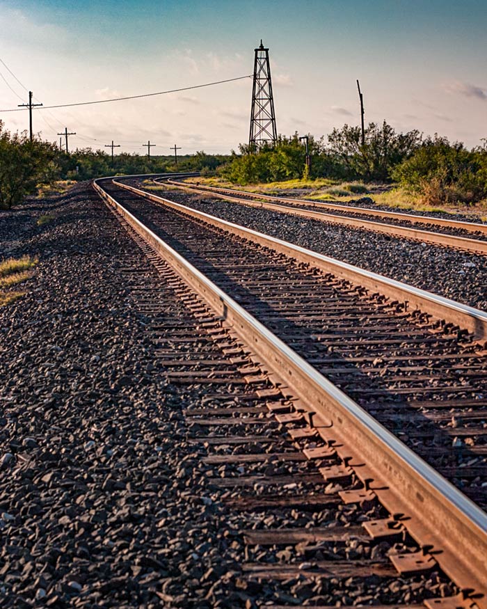
Here in Texas there is a place just as special that draws me back over and over again. It is the Big Bend and Chisos Mountains. I’m not a flatlander by inclination so any time I spend in or near mountains is special to me. My senses become a little keener, with eyes unconstrained by the works of men. You can dream primal dreams there.

Border View

Reflect the Border
Reflect the Border

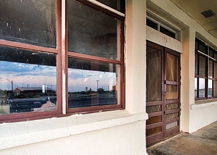
The borderlands in far West Texas become a little poorer every day. That is strange given the amount of commerce that passes along the highways to and from Mexico. In some measure this is the result of the politics of division practiced in the United States. Small areas around the major border crossings and the maquiladoras flourish. The rest of the border is an economic desert fit only for the tit-for-tat of smugglers and authorities.